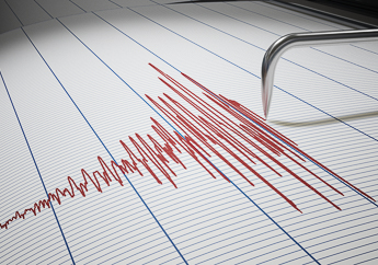
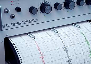
Most Missourians are familiar with the large 1811-1812 earthquakes that occurred in the New Madrid Seismic Zone (NMSZ) in southeast Missouri and it extends into a multi-state area. However, Missouri experiences small earthquakes nearly every day. These earthquakes typically are too small to be felt but are recorded on seismographs, devices that measure the earth’s movement. While these earthquakes are more frequent in the NMSZ in southeast Missouri, they also occur on other faults located in Missouri and surrounding states. Some scientists believe there is about a 10% chance of a magnitude 7-8 earthquake in the New Madrid Seismic Zone in a 50 year time interval.
- Mo' Curious by Missouri Life: Missouri Rocks! Interview with Amber Steele and Larry “Boot” Pierce, MGS geologists, by By Trevor Harris


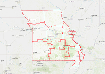
Mapping partnership with the State Emergency Management Agency