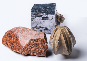
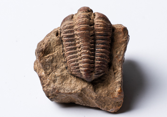
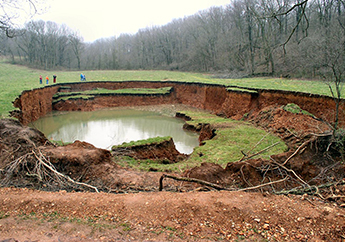
Geology, also known as geoscience or earth science, is the study of the Earth — how it was formed, its internal structure and materials, and the processes that shape it over time. Different types of rocks and minerals act as the solid building blocks that make up the Earth. Natural events and processes, such as earthquakes, weathering and erosion, change the lands structure. Clues in rock layers and fossils reveal how the planet has changed.
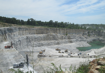
The Missouri Department of Natural Resources is responsible for investigating and protecting Missouri's geologic resources. Integrated earth resource evaluation protects public health, the environment and economic vitality. The information we gain helps the department protect citizens from geologic hazards and keep Missouri's groundwater safe. The department uses geologic and hydrologic information to help make environmental decisions regarding underground investigations, contaminant movement, site remediation and geologic hazards. As raw materials (rocks and minerals) are mined for use in construction and manufacturing, the department ensures beneficial restoration of the mined lands to protect public health, safety and the environment from the adverse effects of mining. Geology also supports economic development by locating energy sources such as oil, gas and critical minerals. Learn more about Missouri's geology.
Do you have a question about Missouri geology, or do you have a rock you would like to have identified? If so, send a photo of the rock and information about where you found the rock and one of our geologists will reply. Contact us at askageologist@dnr.mo.gov.